Arad, manually mapped
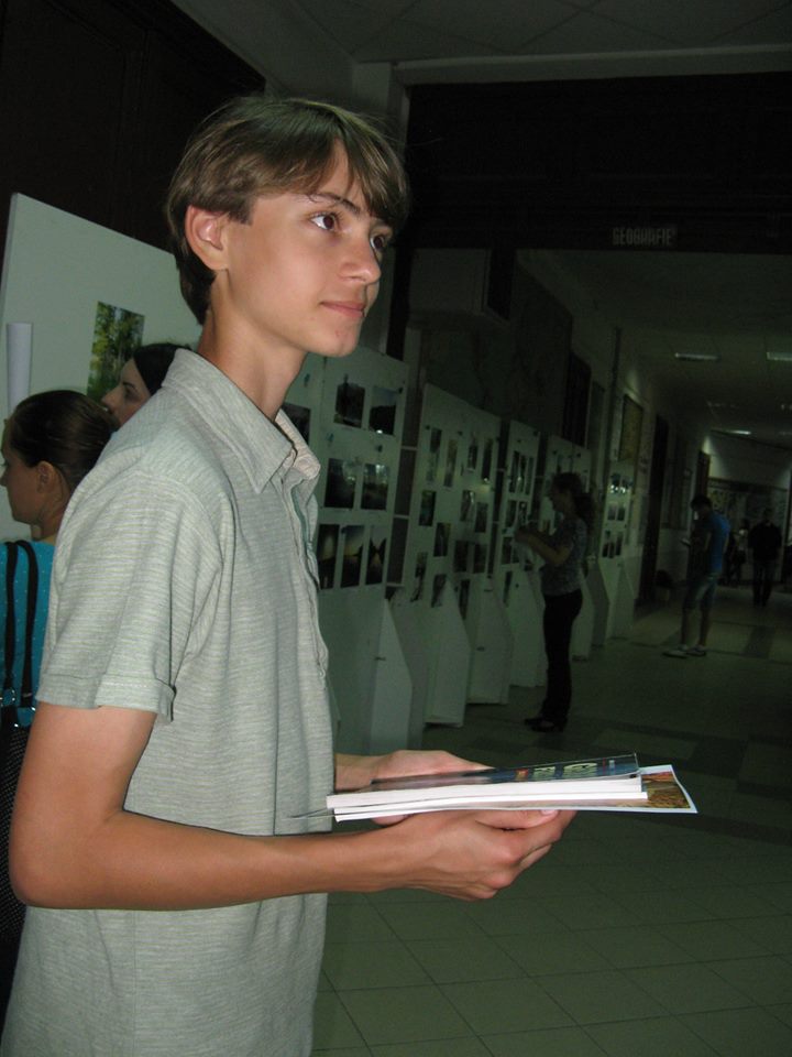
In this autumn, Cristian Cazacu, a high school student from Focșani who is interested in geography and cartography drew a map of Arad for the Alternative Tourism Association, with the aim of Arad joining USE-IT Europe, a network that comprises more than 40 cities.
Use-It implies local people creating a non-commercial map, with relevant information addressed especially to young travellers. The people who co-ordinate and contribute to this project are completely independent and no one pays for being featured on it. The project consists of more steps, including collecting information about places young visitors can go to in order to spend time and interact with local people.
Perhaps the most important aspect of this project is the fact that Arad’s map, as soon as it is created and approved into the network, will be distributed in all the cities who are USE-IT members. The Alternative Tourism Association members decided to start working on this project and chose Cristian Cazacu as the creator of this map. For those who don’t know Cristian, we will present him below.
At the age of 3, Cristian learned the alphabet by himself, as he was curious about it. When he was 8, he drew his first map ever, China’s map, but he remembers he started working on a map of Romania earlier, at the age of 5. However, the highlight of his work is a world’s map with a surface of 21 square metres, on which he worked more than one year and which got him into the Guiness World Records for the largest handmade map in the world.
The map was created using flipchart sheets, markers, a ruler and an eraser, ‘nothing special’, while having the geographic atlas by his side and was on display at the Faculty of Geography of the Bucharest University in 2012.
When the map was removed from the exhibition spot from the Faculty of Geography, Cristian was awarded the title of “The youngest cartographer”, because of his abilities in accurately representing geographic reality, the diploma being awarded by the Dean of the Faculty of Geography, Laura Comănescu.
The map of Arad created by Cristian is 60×85 cm and will be used by the Alternative Tourism Association for implementing Use-It in Arad. Besides this map of Arad and the map exhibited in 2012 in Bucharest, Cristian Cazacu has also drawn other maps, including representations of regions or countries like Crimea, Donetsk, Luhansk, Odessam, Kalingrad, China, USA, Mexico, Australia, Canada, UK, Russia, the Phillipines, South and North America, Vrancea County, Japan, Italy, Antarctica, Turkmenistan and the bathymetric map of the Black Sea.
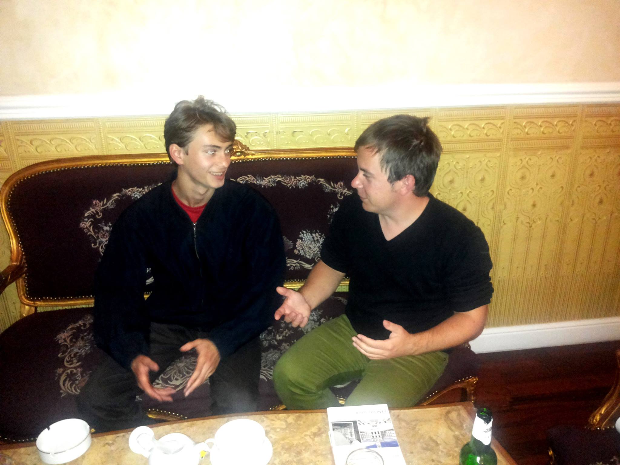
Cristian Cazacu and Mario Csipai, the president of the Alternative Tourism Association